690990688
geograf.biuro@gmail.comSzanowni klienci, w trakcie zakupów prosimy o zwrócenie uwagi na czas realizacji zamówienia poszczególnego produktu, znajdujący sie pod ceną produktu.
Kategorie
Producenci


Halti Kilpisjarvi wodoodporna mapa turystyczna 1:50 000 KARTTAKESKUS

| Producent: KARTTAKESKUS |
| Kod EAN: 9789522667205 |
Halti Kilpisjärvi Pältsan
wodoodporna mapa turystyczna w skali 1:50 000, fińskiego wydawnictwa KARTTAKESKUS

The outdoor map Halti and Kilpisjärvi 1:50 000 is printed on durable synthetic material. The waterproof Finnish outdoor maps can be identified by the yellow marking on the cover.
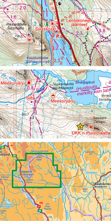
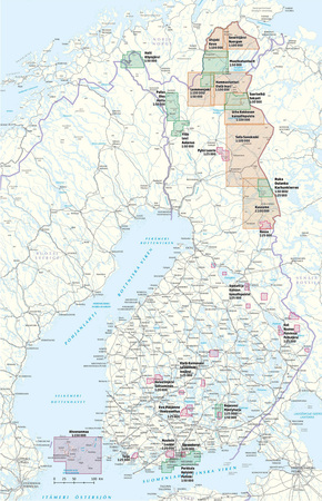
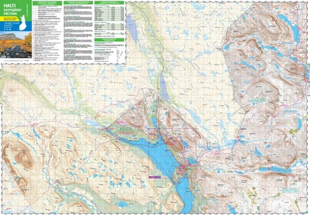
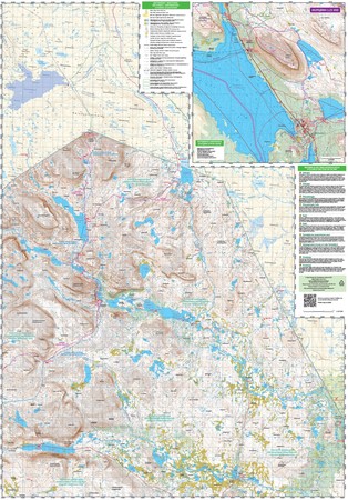
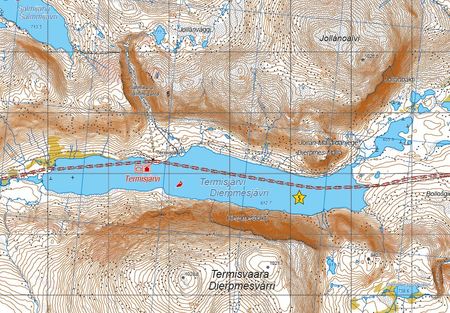
The double-sided map covers Finland's most impressive fells in the Käsivarsi Wilderness Area. It shows the hiking and cross-country skiing trails in the vicinity of Kilpisjärvi, Malla Strict Nature Reserve, all of Finland's peaks of over 1 000 metres and the part of the Arctic Trail running in Finland via Halti, the highest peak in the country.
The material of the map is fully waterproof and can withstand almost limitless folding, and it will not rip in normal map use. The features are also retained during frost and heat. The map has a pleasant feel and is lighter than if printed on paper.
In addition to terrain details, e.g. huts, routes and other hiking services, as well as dining and accommodation services, have been marked on the map. Also parts of Sweden and Norway close to the border are shown. On the side of the map you will find a map of the village of Kilpisjärvi. This outdoor map is coloured in a slightly different way from other Finnish outdoor maps: the fell areas above tree line are in white while the forests are in green, because most of the area is above tree line.
The map includes ten attractions or experiences in the area, which have been described in a few sentences at the edge of the map in Finnish and English. At the edge of the map, you can also find all the hut coordinates in the area as well as information about the declinations. The scale of the map is best suited for Finnish fell terrain 1:50 000 (1cm on the map = 500m of terrain).


| Autor: | praca zbiorowa |
| Producent/Wydawnictwo: | Karttakeskus |
| Rok wydania: | 2021/2022 |
| Kod kreskowy: | 9789522667205 |
| Skala mapy / planu miasta: | 1:50 000 |
| Język: | angielski, fiński |
| Ilość stron: | 2 |
| Wymiary: | 70 × 84 cm |
| Okładka / oprawa: | miękka |
| Numer wydania: | 2 |

