690990688
geograf.biuro@gmail.comSzanowni klienci, w trakcie zakupów prosimy o zwrócenie uwagi na czas realizacji zamówienia poszczególnego produktu, znajdujący sie pod ceną produktu.
Kategorie
Producenci


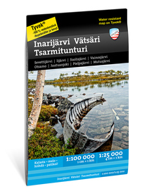
Hammastunturi, Etela-Inari wodoodporna mapa turystyczna 1:100 000 KARTTAKESKUS 2020

| Producent: KARTTAKESKUS |
| Kod EAN: 9789522666734 |
Hammastunturi, Etelä-Inari
wodoodporna mapa turystyczna w skali 1:100 000, fińskiego wydawnictwa KARTTAKESKUS

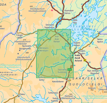
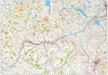
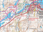
The waterproof outdoor map of Hammastunturi and Southern Inari covers the wilderness areas of Hammastunturi and Tsarmitunturi and the area close to Saariselkä Resort as well as the southern part of Lake Inari. In the east the map stretches all the way to the Russian border. The scale of the map is 1:100 000 (1 cm on the map = 1 km on the ground).
The handy double-sided outdoor map covers the hiking areas of Inari, Ivalo and Saariselkä Resort with a single sheet. It is especially useful when hiking or cross-country skiing. Also cycling trails, snowmobile routes and Lake Inari water routes are included.
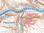
The map is based on a topographic map of the National Land Survey of Finland and has plenty of extra information for hikers and travellers, such as various trails and their lengths, wilderness huts, lean-to shelters, eating places, accommodations and sights.
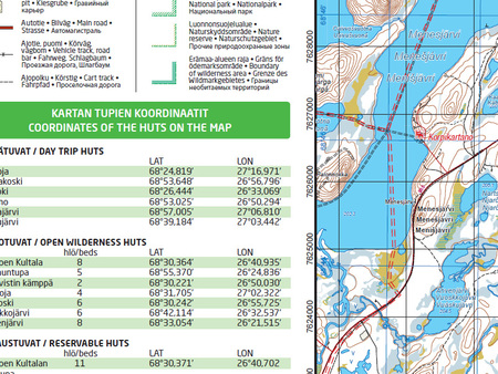
On the side of the map you will find coordinates for all the wilderness huts managed by Metsähallitus to help locate them with a GPS device. Details on magnetic declination and the coordinate system are also included. The map has also the ETRS-TM35FIN coordinate system.
| Autor: | praca zbiorowa |
| Producent/Wydawnictwo: | KARTTAKESKUS |
| Rok wydania: | 2020 |
| Kod kreskowy: | 9789522666734 |
| Skala mapy / planu miasta: | 1:100 000 |
| Język: | angielski, fiński |
| Ilość stron: | 2 |
| Wymiary: | 98 × 68 cm |
| Okładka / oprawa: | miękka |
| Numer wydania: | 2 |

